Map View
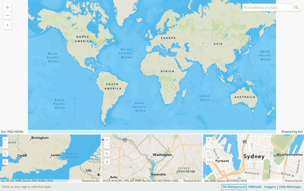
The map view displays vector tiles with the currently selected styles. You can click on the map view to select vector tile layers.

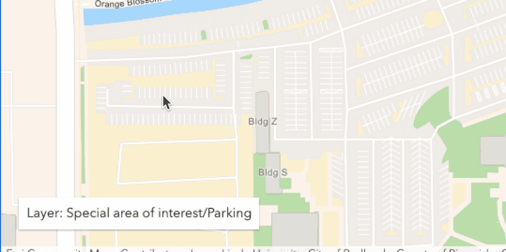
See layer information
Hovering on any layer will display the layer name in the bottom left corner of any map.

Click on the map to edit layer styles
Click anywhere on the map view to open a Layer Editor () to change the style of the selected layer.
Minimaps
The minimaps show different locations around the world at varying zoom levels. You can change the locations for each minimap by clicking the magnifier icon in its zoom level widget or by using the search widget.

Using the map view
The following is a description of main user interactions for working with the map view.
| Interface | Image | Description |
|---|---|---|
| Zoom level | 
| The + and - symbols control zooming in and out. The number below these symbols indicate the current zoom level of the map. For example, the zoom level in the map viewer at the top of the page is 1. |
| Search | 
| Type in an address or place of interest to center the map at that location. |
| Close | 
| Close VTSE. If you're using VTSE in ArcGIS Online, you'll return back to the map viewer. |
| Background layer | 
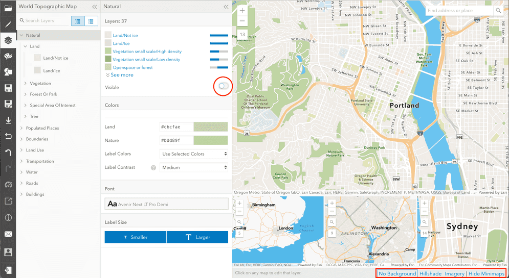
| Select a background layer: - No Background: No background layer- Hillshade: Add hillshade- Imagery: Add imageryNote: to make imagery or hillshade visible, you will need to either change the opacity of a layer or turn of the visibility of layers. See the imagery example below. |
How to display background imagery
In this example, the group of Land layer styles has been switched to not visible and the background layer is satellite imagery. Wherever on the map a Land vector tile would normally be displayed, a satellite imagery tile is displayed instead.
